Northern and Southern circuit walk
Length: 19.5km, circuit
Duration: 2 days (~5 hrs of walking each day)
Region: Cathedral Range State Park (nearest town Buxton)
References: "Day Walks Melbourne" (Walk 33, 34 with modification), Vicmap Outdoor Leisure map, and park notes
The Razorback:
-- 1st Day --
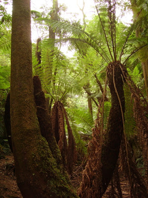
This walk was fantastic. We walked from Cooks Mill to Jawbone Car park. We then headed up Cerberus road and then up Canyon track along the Razorback to the Farmyard, where we stayed overnight. Climbing up Canyon track with 15-17kgs (we carried all our water for the two days) on your back is quite the challenge and made for very sore legs the next day. Climbing up canyon track required rock scrambling and we aren't 100% sure that we were on the "trail" all of the time so it might of been harder than it should have been but we had fun. The views along the Razorback are worth every sore muscle. We arrived at the Farmyard and setup camp. We were the only ones there and it was really peaceful.

-- 2nd Day --
We headed off after breakfast at around 8:45am. We went up towards the Cathedral Peak but took the right hand track and went down to Neds Saddle. We then climbed Neds peak and had lunch there. We then headed down onto Neds Gully Walking track to Little River walking track back to the car. The second day was less breathtaking because you are essentially scaling down the mountain range back to the gully, where the main campsites are. We didn't go up to the Little Cathedral or the Cathedral Peak and decided to leave that for another trip. We hope to come back one day and goto Wells Cave and also to scale up to the Cathedral peak.

Impressions: Great views and physically challenging.